Home of the Clallam County Survey records Database
Over 25,000 maps and counting!
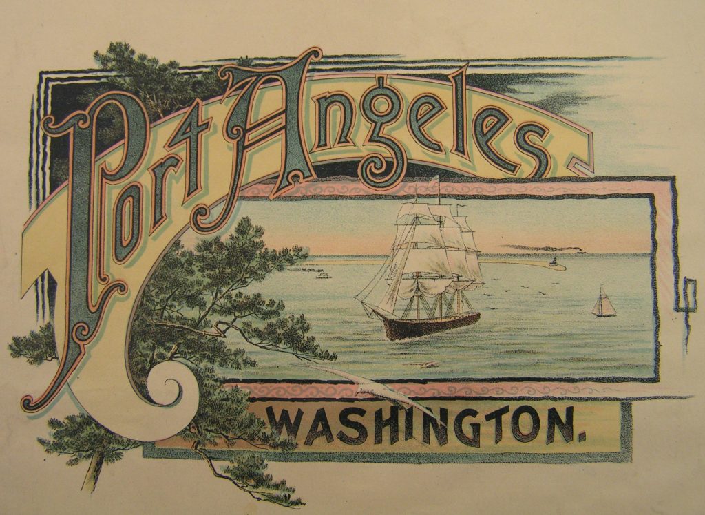
703 East Eighth Street Port Angeles, Washington 98362
Phone: 360-457-9600
Phone: 360-385-0200
email: james@wenglersurveying.com
Home of the Clallam County Survey records Database
Over 25,000 maps and counting!
703 East Eighth Street Port Angeles, Washington 98362
Phone: 360-457-9600
Phone: 360-385-0200
email: james@wenglersurveying.com